
Missinaibi Provincial Park
Missinaibi Provincial Park
A canoeing and wilderness nirvana
with amazing aboriginal pictographs
Missinaibi Provincial Park is a little visited and relatively unknown hidden gem amongst both international visitors and Ontario residents themselves.
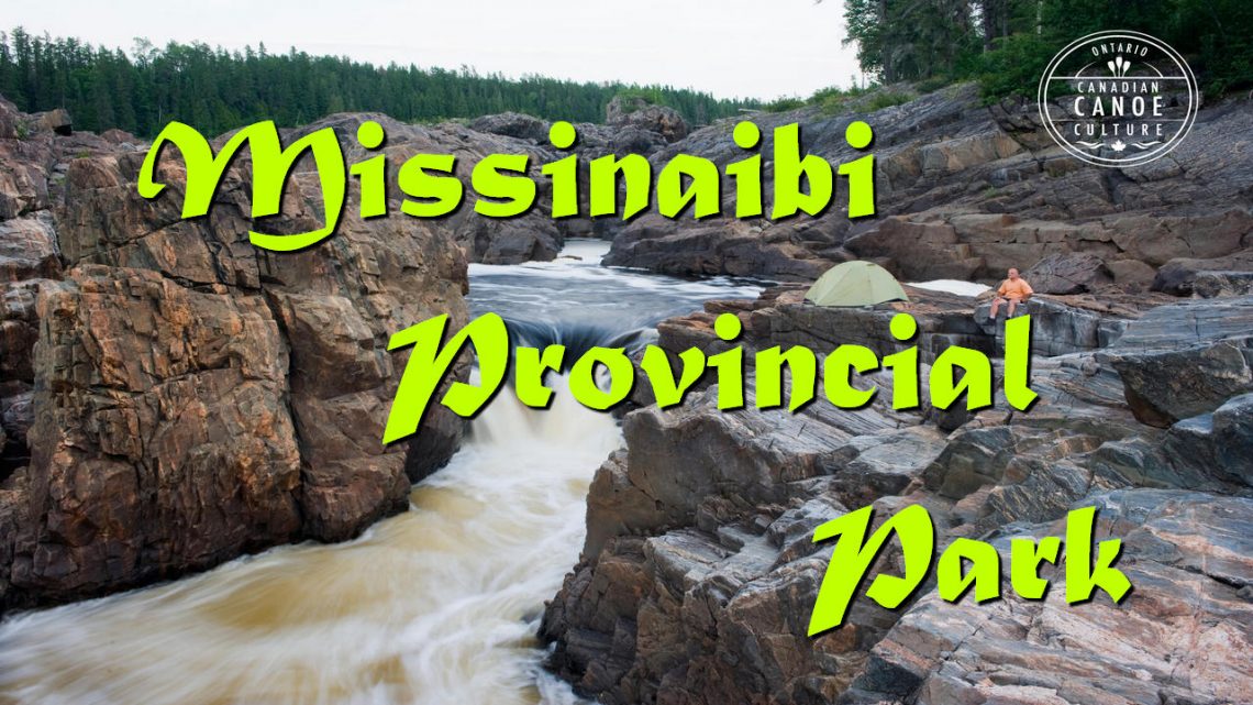
Established in 1970 it is a relatively large park encompassing 99,090 hectares (244, 857 acres) or 991 sq. kilometres (383 sq. miles) of wilderness and follows the historic Missinaibi River for 601 kilometres (360 miles) from near its source at Missinaibi Lake just north of the Town of Chapleau through Foster Lake and Brunswick Lake into the Moose River and eventually James Bay. An additional 20,719 hectares (51,197 acres) or 80 sq. miles has been proposed to include some of the lower stretches of the river near Thunderhouse Falls.
While the Missinaibi Provincial Park may be little known to most travelers, amongst canoeing enthusiasts it is one of those must visit destinations that makes their eyes grow in excitement by the mere mention of its name. The Missinaibi River itself flows for 755 kilometres (469 miles) and is one of the longest free-flowing undeveloped rivers in the Province. In Cree its name means “pictured waters” which probably refers to a number of pictographs found on some of the sheer rock cliffs found along its shores and historically the river was part of the main route used by fur traders as the journeyed between James Bay and Lake Superior.